Animations & Videos
Simple explanations. Complex Subjects.
Weather information is constantly being measured at nearly 10,000 stations across the world. In the United States, this weather data is sent to the National Center for Environmental Prediction in Washington D.C, where it is placed into weather forecast models and onto surface weather maps. As you might expect, these maps are often crowded due to the large number of weather observation stations in the United States. In order to save space, this data is coded.
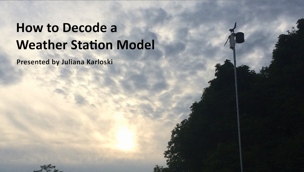
Weather station models were developed by the World Meteorological Organization to code weather data in an efficient manner. This video breaks down how to decode the data in these models to determine what the weather is like at a specific location at a given time.
Building on the moon is far more challenging than building on the earth. There are many things space explorers must take into account when it comes to designing a sustainable habitat.
This video explains some of the primary risks that must be taken into account before building on the moon in a simple manner. It also goes over some of the necessary features that must be included in any lunar habitat. It was designed to be used as supplement to a lesson on lunar habitats for upper elementary and middle school students with the idea that afterwards students would design their own lunar habitat model using household supplies.


